|
Counties: Brazoria, Brazos, Burleson, Chambers, Fort Bend, Galveston, Grimes, Hardin, Harris, Jefferson, Lee, Liberty, Madison, Montgomery, Orange, San Jacinto,Walker, and Waller. |
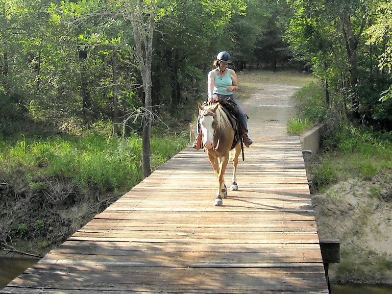
Nails Creek - Lake Somerville Somerville Texas State Park has a 13 miles of trailway that goes from the Nails Creek campgrounds to the Birch Creek Campgrounds. This is not a loop so you have to go back the way you came making your round trip about 24 miles, unless there is someone who can move the truck and trailer while everyone is riding or have a friend’s trailer at the other campground. The 1/2 way point between campgrounds/trailheads is approx 6 miles and has a nice rest area and view. The trailway entrance located at Nails Creek can be a little rocky so I usually use boots as my horse is unshod. They have water at that trailway entrance and approx 7 miles up the trail. Trails are well maintained and rangers are really nice and helpful. At Nails Creek from the full service campsites you will need to ride your horse down the park’s main road about 1/2 mile to reach the trailway entrance. It is an easy ride with plenty of grassy area on the side to get off the road. On the trail there is a bridge crossing that is fun to do and can be scary. It is narrow and approx 30′ above the water. Most horses are ok with it. It is scarier for the rider I think. Trail Users: equestrians, hikers, dog walkers, and bicyclists. Horse drawn buggies/carriages are also allowed!  Camp Site Map link to resever Nails creek also has ten primitive water only equestrian sites for overnight camping. When driving through the park entrance, this campsite is the first left and is near the trailhead. This campsite also accesses the trailway directly. At this campsite there are three pairs of pens and one row of pens exactly like the ones at the Bent Tree campgrounds. At the center of this campground is a handy round pen. This campsite has picnic tables with a pole and hook to hang a lantern on.
Nail Creek Map Lake Somerville Trailway Map |


